

创作上传
VIP
收藏下载
登录 | 注册有礼
查看完整案例

收藏

下载

分享
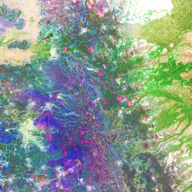
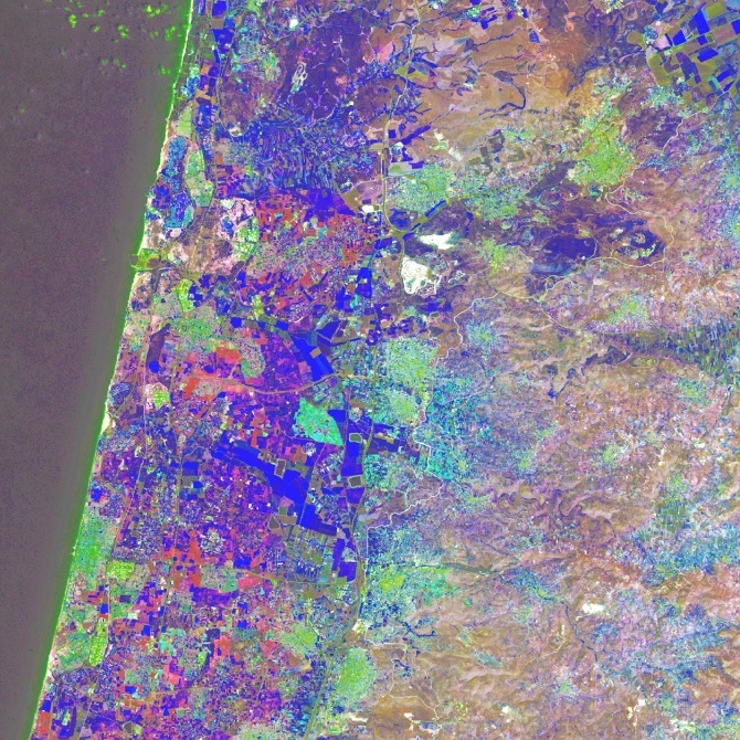
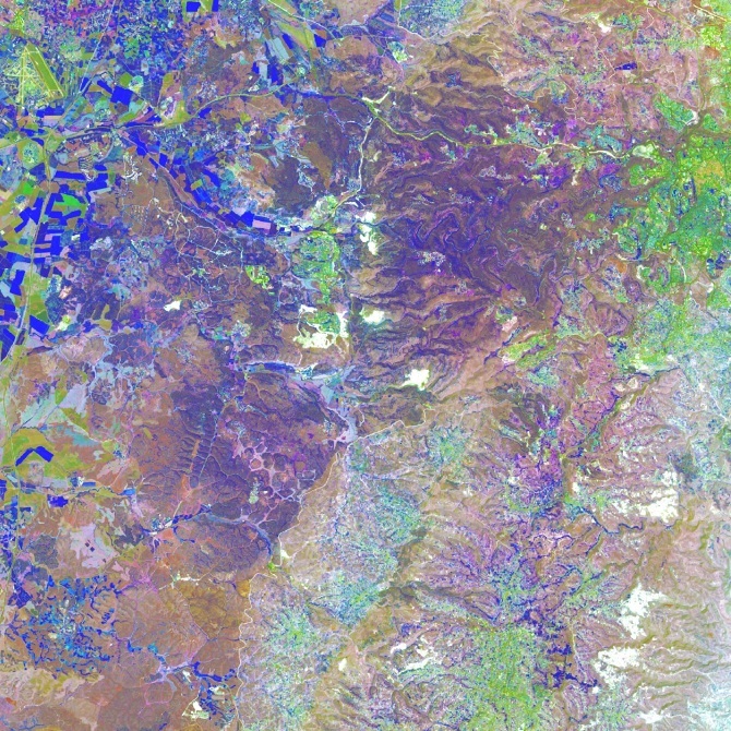
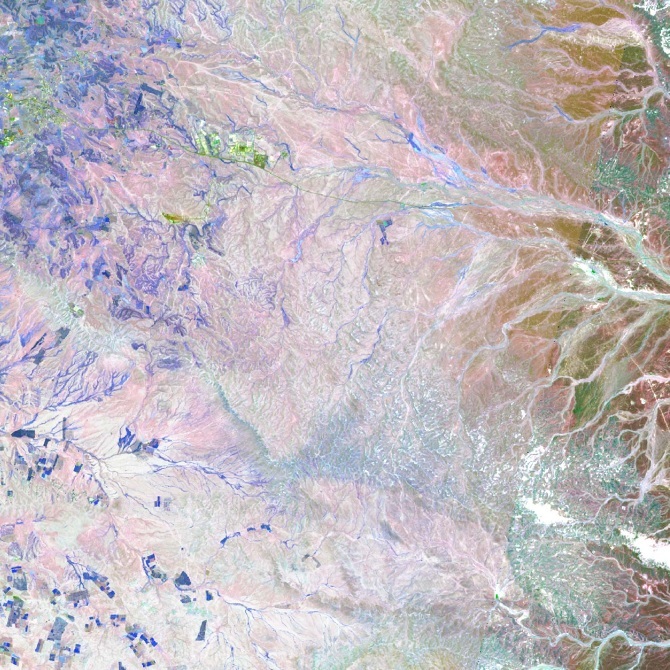
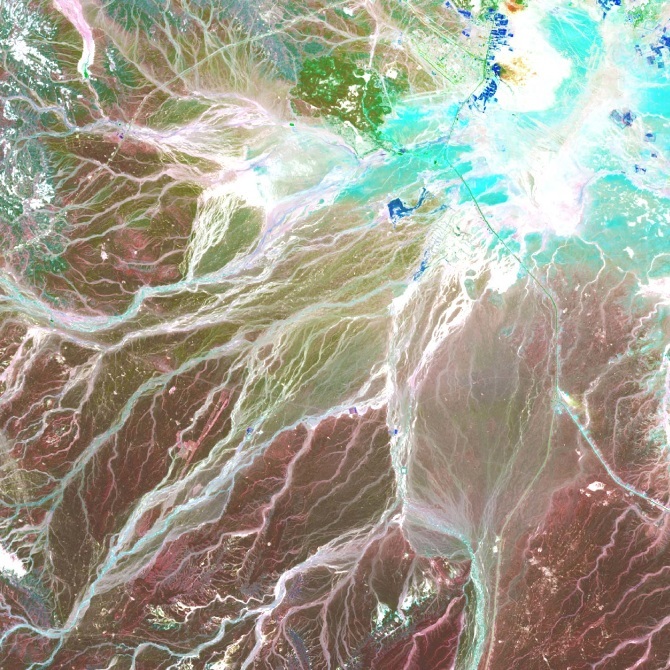
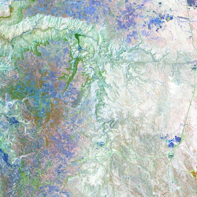
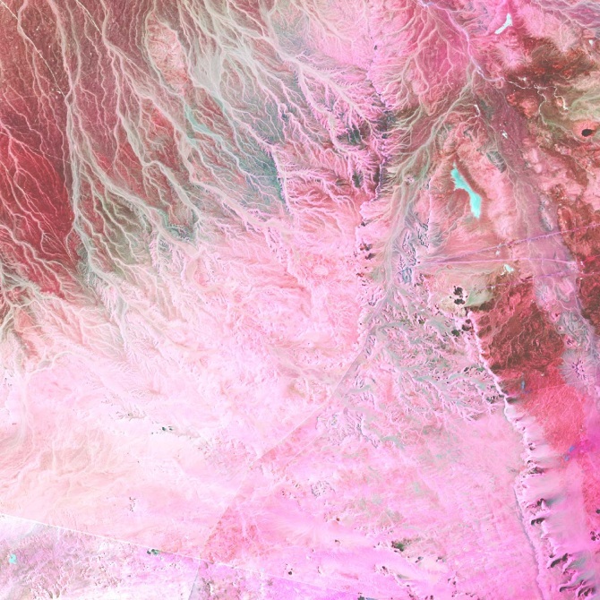
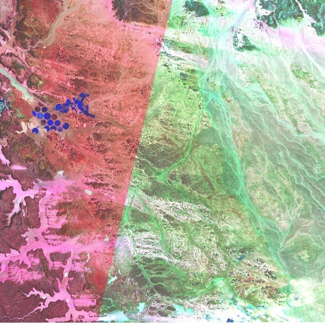
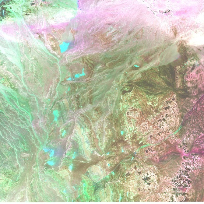
Blue Farmland
Jordan/ Israel
Spring 2016 I Columbia University Graduate School of Architecture, Planning and Preservation, I New York City
Instructor: Grga Basic
This set of Landsat imagery is the outcome of a site research for the Columbia GSAPP Urban Design - Water Urbanism Studio.

Blue Farmland is a research exercise aiming to demonstrate the relationship between Political Boundary and Natural Boundary, Farmland and Water. Jordan Valley is one of the few regions with the most conflicts today, in which water resource plays a crucial role. By using the 6-3-5 band combination of Landsat 8, the outcome reverses the color of Active Farmland and Water, which are the two most representative elements when people think about the fight of water in this region. The farmland itself becomes the representation of a win in fighting for water.


南京喵熊网络科技有限公司 苏ICP备18050492号-4知末 © 2018—2020 . All photos and trademark graphics are copyrighted by their owners.增值电信业务经营许可证(ICP)苏B2-20201444 苏公网安备 32011302321234号
苏公网安备 32011302321234号客服
消息
收藏
下载
最近